Perne Road: pedestrian crossing
Introduction
The photograph on this page of Perne Road: pedestrian crossing by John Sutton as part of the Geograph project.
The Geograph project started in 2005 with the aim of publishing, organising and preserving representative images for every square kilometre of Great Britain, Ireland and the Isle of Man.

There are currently over 7.5m images from over 14,400 individuals and you can help contribute to the project by visiting https://www.geograph.org.uk
Perne Road: pedestrian crossing
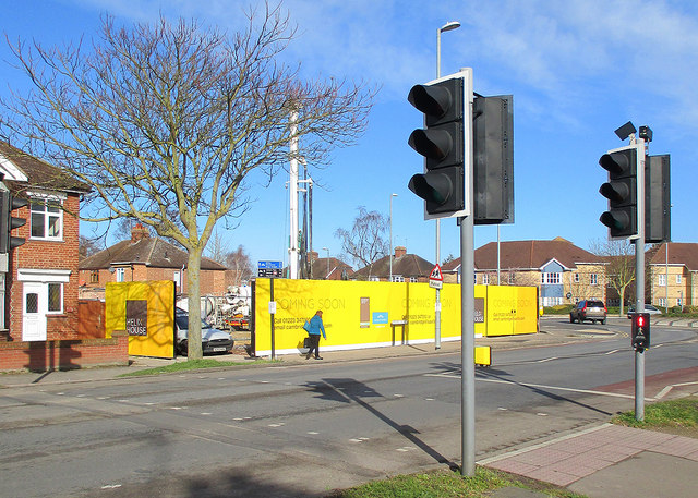
Image: © John Sutton Taken: 2 Mar 2015
The crossing immediately south of the Radegund Road roundabout. In the background (in Image) flats are being built on the site of the quadrant of shops demolished at the end of 2014 - see Image], Image] and others.
Images are licensed for reuse under creativecommons.org/licenses/by-sa/2.0
Image Location


Leaflet Map data © OpenStreetMap
Latitude
52.191468
Longitude
0.154231