Firs Farm
Introduction
The photograph on this page of Firs Farm by John Baker as part of the Geograph project.
The Geograph project started in 2005 with the aim of publishing, organising and preserving representative images for every square kilometre of Great Britain, Ireland and the Isle of Man.

There are currently over 7.5m images from over 14,400 individuals and you can help contribute to the project by visiting https://www.geograph.org.uk
Firs Farm
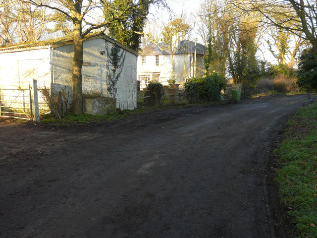
Image: © John Baker Taken: 15 Feb 2015
Situated in what is locally known as Old Hawkinge and formerly known as Hawkinge Farm, the house is a grade II listed building dating from the early 19th century http://www.britishlistedbuildings.co.uk/en-441221-firs-farm-hawkinge-kent
Images are licensed for reuse under creativecommons.org/licenses/by-sa/2.0
Image Location
Latitude
51.115743
Longitude
1.183107