Blue corner of suburban Cinderford
Introduction
The photograph on this page of Blue corner of suburban Cinderford by Jaggery as part of the Geograph project.
The Geograph project started in 2005 with the aim of publishing, organising and preserving representative images for every square kilometre of Great Britain, Ireland and the Isle of Man.

There are currently over 7.5m images from over 14,400 individuals and you can help contribute to the project by visiting https://www.geograph.org.uk
Blue corner of suburban Cinderford
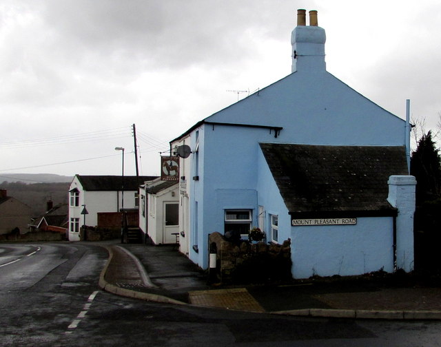
Image: © Jaggery Taken: 1 Mar 2015
The corner of Mount Pleasant Road and the Mount Pleasant pub http://www.geograph.org.uk/photo/4366588 at the edge of St White's Road.
Images are licensed for reuse under creativecommons.org/licenses/by-sa/2.0
Image Location
Latitude
51.816743
Longitude
-2.495366