Birkenhills School
Introduction
The photograph on this page of Birkenhills School by Anne Burgess as part of the Geograph project.
The Geograph project started in 2005 with the aim of publishing, organising and preserving representative images for every square kilometre of Great Britain, Ireland and the Isle of Man.

There are currently over 7.5m images from over 14,400 individuals and you can help contribute to the project by visiting https://www.geograph.org.uk
Birkenhills School
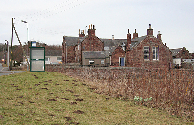
Image: © Anne Burgess Taken: 27 Feb 2015
The red sandstone building is no longer in use as a school, but there is a sign on the nearest door describing it as Birkenhills Community Centre. The place seems to be popular with moles.
Images are licensed for reuse under creativecommons.org/licenses/by-sa/2.0
Image Location
Latitude
57.500532
Longitude
-2.421633