Path at Menstrie
Introduction
The photograph on this page of Path at Menstrie by William Starkey as part of the Geograph project.
The Geograph project started in 2005 with the aim of publishing, organising and preserving representative images for every square kilometre of Great Britain, Ireland and the Isle of Man.

There are currently over 7.5m images from over 14,400 individuals and you can help contribute to the project by visiting https://www.geograph.org.uk
Path at Menstrie
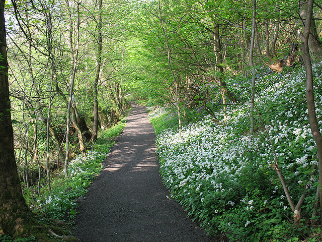
Image: © William Starkey Taken: 7 May 2008
A cycle/footpath running through woodland by the Ochil Hills at Menstrie. In springtime, the woodland here white and blue with wild garlic and bluebells.
Images are licensed for reuse under creativecommons.org/licenses/by-sa/2.0
Image Location
Latitude
56.151199
Longitude
-3.861159