Rosehall Golf Course
Introduction
The photograph on this page of Rosehall Golf Course by Anne Burgess as part of the Geograph project.
The Geograph project started in 2005 with the aim of publishing, organising and preserving representative images for every square kilometre of Great Britain, Ireland and the Isle of Man.

There are currently over 7.5m images from over 14,400 individuals and you can help contribute to the project by visiting https://www.geograph.org.uk
Rosehall Golf Course
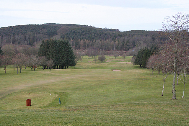
Image: © Anne Burgess Taken: 27 Feb 2015
The course is looking deserted on a cold February weekday. No doubt it will soon be busier.
Images are licensed for reuse under creativecommons.org/licenses/by-sa/2.0
Image Location
Latitude
57.537222
Longitude
-2.485193