Structure at West Torrington Grange
Introduction
The photograph on this page of Structure at West Torrington Grange by Chris as part of the Geograph project.
The Geograph project started in 2005 with the aim of publishing, organising and preserving representative images for every square kilometre of Great Britain, Ireland and the Isle of Man.

There are currently over 7.5m images from over 14,400 individuals and you can help contribute to the project by visiting https://www.geograph.org.uk
Structure at West Torrington Grange
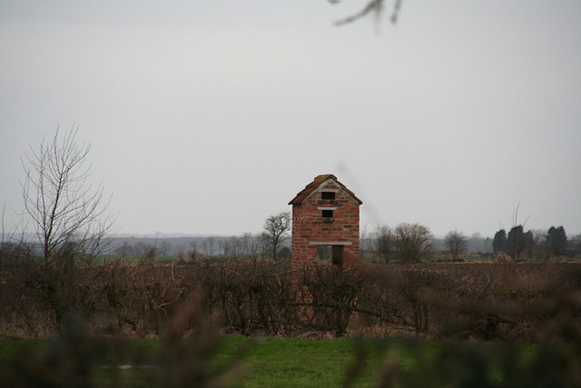
Image: © Chris Taken: 28 Feb 2015
Anyone's guess. I'll ask next time I pass. It is near to a watercourse, so maybe it housed a water pump? The holes at the top suggest a dovecote.
Images are licensed for reuse under creativecommons.org/licenses/by-sa/2.0
Image Location
Latitude
53.316123
Longitude
-0.285717