M25 Signs
Introduction
The photograph on this page of M25 Signs by Martin Addison as part of the Geograph project.
The Geograph project started in 2005 with the aim of publishing, organising and preserving representative images for every square kilometre of Great Britain, Ireland and the Isle of Man.

There are currently over 7.5m images from over 14,400 individuals and you can help contribute to the project by visiting https://www.geograph.org.uk
M25 Signs
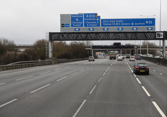
Image: © Martin Addison Taken: 28 Feb 2015
View from a coach travelling anti clockwise around the M25 motorway. The signs indicate that Junction 14, the Colnbrook Interchange, is a quarter of a mile ahead. The second gantry carries speed advice and lane closure warning screens. The bridge beyond that gantry carries the A4 Colnbrook Bypass.
Images are licensed for reuse under creativecommons.org/licenses/by-sa/2.0
Image Location
Latitude
51.4854
Longitude
-0.498983