Sheriff Hill Summit
Introduction
The photograph on this page of Sheriff Hill Summit by Anthony Foster as part of the Geograph project.
The Geograph project started in 2005 with the aim of publishing, organising and preserving representative images for every square kilometre of Great Britain, Ireland and the Isle of Man.

There are currently over 7.5m images from over 14,400 individuals and you can help contribute to the project by visiting https://www.geograph.org.uk
Sheriff Hill Summit
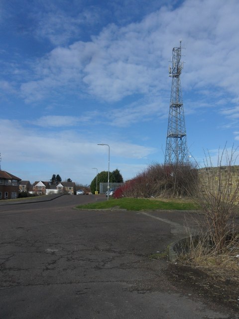
Image: © Anthony Foster Taken: 25 Feb 2015
At 167m this was the highest point in the former Gateshead County Borough (1889-1974). It is now a covered reservoir.
Images are licensed for reuse under creativecommons.org/licenses/by-sa/2.0
Image Location
Latitude
54.935661
Longitude
-1.581225