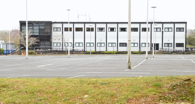
Rosepark House, Belfast - February 2015(1)
Introduction
The photograph on this page of Rosepark House, Belfast - February 2015(1) by Albert Bridge as part of the Geograph project.
The Geograph project started in 2005 with the aim of publishing, organising and preserving representative images for every square kilometre of Great Britain, Ireland and the Isle of Man.
There are currently over 7.5m images from over 14,400 individuals and you can help contribute to the project by visiting https://www.geograph.org.uk

Image: © Albert Bridge Taken: 28 Feb 2015
A Government building, commonly called “Rosepark”, on the Upper Newtownards Road, built (I think) in the late 1960’s or early 1970’s, on what might have been the site of Dundonald telephone exchange. Originally in the form of a short-term building it was (much) later modernised to its present form. The name “Rosepark” comes from “Rose Park” a house (shown, on an old 25” map on the OSI website http://www.osi.ie/Home.aspx , approximately on the site of the present Dundonald House Image, on the other side of the road) owned by one of the Cleland family Image and Image See also Image Continue to Image

