Upper Broomhall Farm
Introduction
The photograph on this page of Upper Broomhall Farm by Philip Halling as part of the Geograph project.
The Geograph project started in 2005 with the aim of publishing, organising and preserving representative images for every square kilometre of Great Britain, Ireland and the Isle of Man.

There are currently over 7.5m images from over 14,400 individuals and you can help contribute to the project by visiting https://www.geograph.org.uk
Upper Broomhall Farm
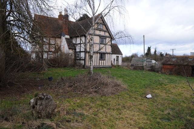
Image: © Philip Halling Taken: 21 Feb 2015
The farmhouse of Upper Broomhall Farm along with its traditional farm buildings are for sale and redevelopment. The surrounding farmland is also likely to be built on, part of the South Worcestershire development plan. Here it is viewed from the footpath which passes through the farm.
Images are licensed for reuse under creativecommons.org/licenses/by-sa/2.0
Image Location
Latitude
52.163573
Longitude
-2.203896