Bleak Hills Lane, Mansfield, Notts.
Introduction
The photograph on this page of Bleak Hills Lane, Mansfield, Notts. by David Hallam-Jones as part of the Geograph project.
The Geograph project started in 2005 with the aim of publishing, organising and preserving representative images for every square kilometre of Great Britain, Ireland and the Isle of Man.

There are currently over 7.5m images from over 14,400 individuals and you can help contribute to the project by visiting https://www.geograph.org.uk
Bleak Hills Lane, Mansfield, Notts.
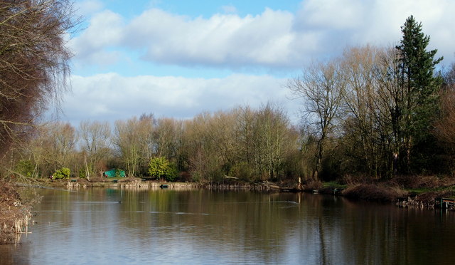
Image: © David Hallam-Jones Taken: 27 Feb 2015
Having passed the under the A617 a mile or so further back, and then along the southern edge of Cauldwell Wood, Cauldwell Brook now flows through a series of fishing lakes situated on either side of Bleak Hills Lane as it continues its northerly journey towards Mansfield. These are private fishing club lakes and the club-house is visible ahead.
Images are licensed for reuse under creativecommons.org/licenses/by-sa/2.0
Image Location
Latitude
53.128399
Longitude
-1.206386