Towards Lower Checkridge Farm
Introduction
The photograph on this page of Towards Lower Checkridge Farm by Derek Harper as part of the Geograph project.
The Geograph project started in 2005 with the aim of publishing, organising and preserving representative images for every square kilometre of Great Britain, Ireland and the Isle of Man.

There are currently over 7.5m images from over 14,400 individuals and you can help contribute to the project by visiting https://www.geograph.org.uk
Towards Lower Checkridge Farm
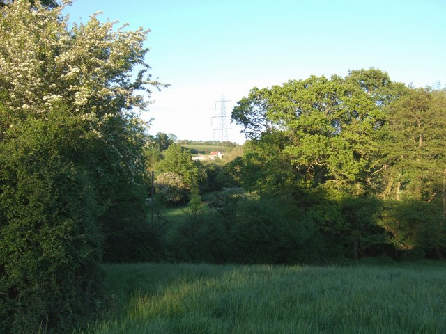
Image: © Derek Harper Taken: 17 May 2007
A corner of a field below Old Barn Farm crossed by Axminster Bridleway 8, with a glimpse across the valley of a tributary of the Axe to Lower Checkridge Farm, beyond the pylon.
Images are licensed for reuse under creativecommons.org/licenses/by-sa/2.0
Image Location
Latitude
50.790295
Longitude
-2.949913