Chard Road, Drimpton
Introduction
The photograph on this page of Chard Road, Drimpton by Derek Harper as part of the Geograph project.
The Geograph project started in 2005 with the aim of publishing, organising and preserving representative images for every square kilometre of Great Britain, Ireland and the Isle of Man.

There are currently over 7.5m images from over 14,400 individuals and you can help contribute to the project by visiting https://www.geograph.org.uk
Chard Road, Drimpton
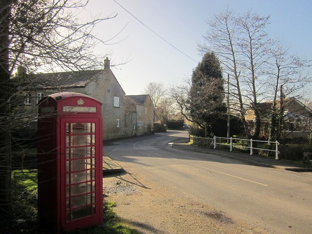
Image: © Derek Harper Taken: 24 Feb 2015
From the same spot as Image, looking to the right along the B3162 as it crosses the Little Axe River. You can see the spot in Image On the left is Bridge Farm.
Images are licensed for reuse under creativecommons.org/licenses/by-sa/2.0
Image Location
Latitude
50.841221
Longitude
-2.828519