Kidbrooke village development near the station (2)
Introduction
The photograph on this page of Kidbrooke village development near the station (2) by Stephen Craven as part of the Geograph project.
The Geograph project started in 2005 with the aim of publishing, organising and preserving representative images for every square kilometre of Great Britain, Ireland and the Isle of Man.

There are currently over 7.5m images from over 14,400 individuals and you can help contribute to the project by visiting https://www.geograph.org.uk
Kidbrooke village development near the station (2)
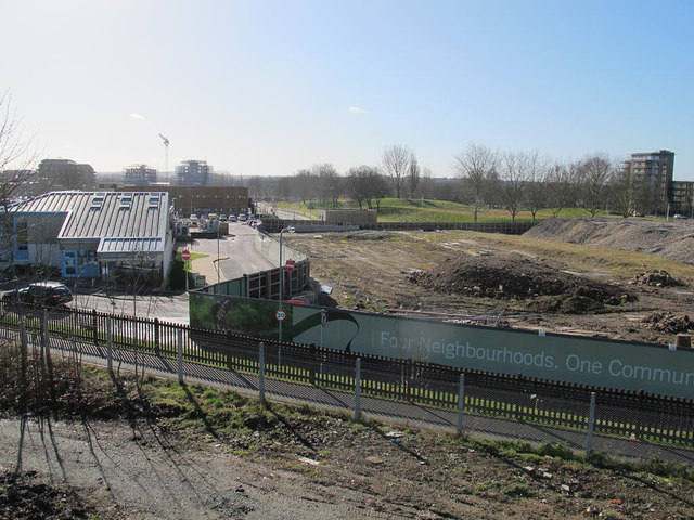
Image: © Stephen Craven Taken: 27 Feb 2015
These buildings replace the former Telemann Square Image
Images are licensed for reuse under creativecommons.org/licenses/by-sa/2.0
Image Location
Latitude
51.461104
Longitude
0.027956