Cycle route through Sun in the Sands junction
Introduction
The photograph on this page of Cycle route through Sun in the Sands junction by Stephen Craven as part of the Geograph project.
The Geograph project started in 2005 with the aim of publishing, organising and preserving representative images for every square kilometre of Great Britain, Ireland and the Isle of Man.

There are currently over 7.5m images from over 14,400 individuals and you can help contribute to the project by visiting https://www.geograph.org.uk
Cycle route through Sun in the Sands junction
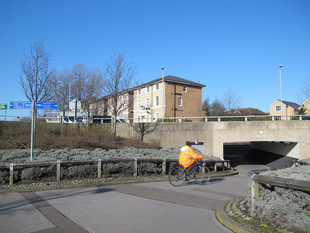
Image: © Stephen Craven Taken: 27 Feb 2015
This busy road junction was designed with pedestrian /cycle underpasses between the levels of the A2 trunk road below and Shooters Hill Road above. This cyclist sis following the London Cycle Network signs towards Greenwich.
Images are licensed for reuse under creativecommons.org/licenses/by-sa/2.0
Image Location
Latitude
51.47484
Longitude
0.024101