River Nene at Kislingbury Bridge (3)
Introduction
The photograph on this page of River Nene at Kislingbury Bridge (3) by Nigel Cox as part of the Geograph project.
The Geograph project started in 2005 with the aim of publishing, organising and preserving representative images for every square kilometre of Great Britain, Ireland and the Isle of Man.

There are currently over 7.5m images from over 14,400 individuals and you can help contribute to the project by visiting https://www.geograph.org.uk
River Nene at Kislingbury Bridge (3)
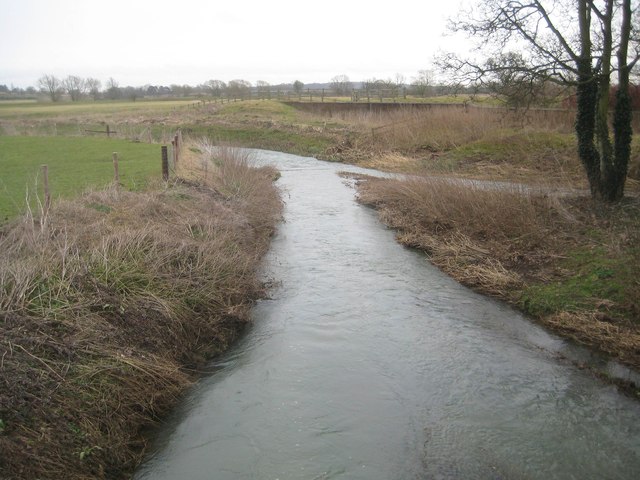
Image: © Nigel Cox Taken: 22 Feb 2015
This is the view looking downstream from the modern-day footbridge which parallels the old road bridge. As the river approaches the bridge on the other, upstream, side it forks into two braids with a shoal between them. This is now the left side braid about to rejoin the right side braid in the distance. This actual confluence of the two braids is in Image
Images are licensed for reuse under creativecommons.org/licenses/by-sa/2.0
Image Location
Latitude
52.232138
Longitude
-0.976615