Ruglys Close
Introduction
The photograph on this page of Ruglys Close by John Baker as part of the Geograph project.
The Geograph project started in 2005 with the aim of publishing, organising and preserving representative images for every square kilometre of Great Britain, Ireland and the Isle of Man.

There are currently over 7.5m images from over 14,400 individuals and you can help contribute to the project by visiting https://www.geograph.org.uk
Ruglys Close
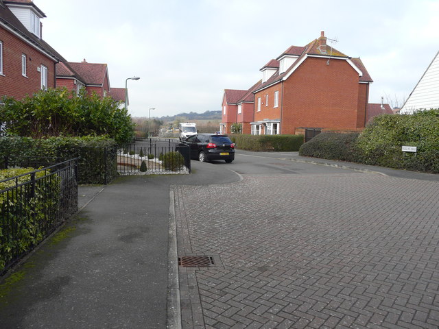
Image: © John Baker Taken: 15 Feb 2015
At present it is a cul-de-sac, but there is a large housing estate being built at the far end of the close and it is possible that the road will be extended into the estate.
Images are licensed for reuse under creativecommons.org/licenses/by-sa/2.0
Image Location
Latitude
51.210337
Longitude
0.789965