New sports pavilion, Arthur Baker Playing Fields, The Moat
Introduction
The photograph on this page of New sports pavilion, Arthur Baker Playing Fields, The Moat by John Baker as part of the Geograph project.
The Geograph project started in 2005 with the aim of publishing, organising and preserving representative images for every square kilometre of Great Britain, Ireland and the Isle of Man.

There are currently over 7.5m images from over 14,400 individuals and you can help contribute to the project by visiting https://www.geograph.org.uk
New sports pavilion, Arthur Baker Playing Fields, The Moat
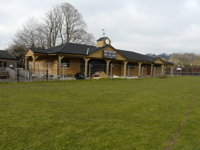
Image: © John Baker Taken: 15 Feb 2015
Planning permission has been granted by Ashford Borough Council under application number 12/00711/AMND/AS for a “proposed non material amendment sought to planning permission 12/00711/AS (erection of new clubhouse) to reduce size of new pavilion and modify roof construction”.
Images are licensed for reuse under creativecommons.org/licenses/by-sa/2.0
Image Location
Latitude
51.208087
Longitude
0.797561