Preparing for building
Introduction
The photograph on this page of Preparing for building by Philip Halling as part of the Geograph project.
The Geograph project started in 2005 with the aim of publishing, organising and preserving representative images for every square kilometre of Great Britain, Ireland and the Isle of Man.

There are currently over 7.5m images from over 14,400 individuals and you can help contribute to the project by visiting https://www.geograph.org.uk
Preparing for building
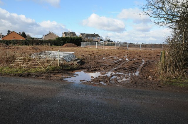
Image: © Philip Halling Taken: 21 Feb 2015
This field viewed here from Brookend Lane is about to be built on with housing.
Images are licensed for reuse under creativecommons.org/licenses/by-sa/2.0
Image Location
Latitude
52.145491
Longitude
-2.210682