Towards High Wood
Introduction
The photograph on this page of Towards High Wood by Derek Harper as part of the Geograph project.
The Geograph project started in 2005 with the aim of publishing, organising and preserving representative images for every square kilometre of Great Britain, Ireland and the Isle of Man.

There are currently over 7.5m images from over 14,400 individuals and you can help contribute to the project by visiting https://www.geograph.org.uk
Towards High Wood
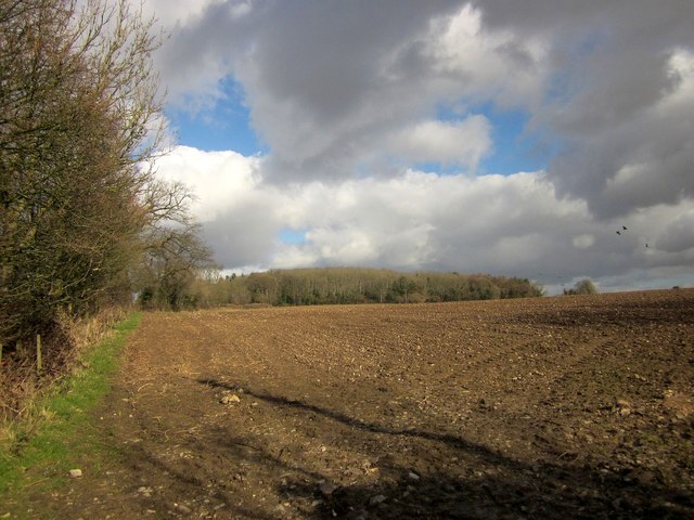
Image: © Derek Harper Taken: 24 Feb 2015
From a gateway by the junction at which Image] was taken, with the B3167 to Crewkerne behind the hedge on the left. High Wood is ahead.
Images are licensed for reuse under creativecommons.org/licenses/by-sa/2.0
Image Location
Latitude
50.860685
Longitude
-2.919231