Girlsta burn
Introduction
The photograph on this page of Girlsta burn by Robert Sandison as part of the Geograph project.
The Geograph project started in 2005 with the aim of publishing, organising and preserving representative images for every square kilometre of Great Britain, Ireland and the Isle of Man.

There are currently over 7.5m images from over 14,400 individuals and you can help contribute to the project by visiting https://www.geograph.org.uk
Girlsta burn
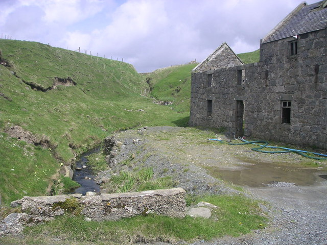
Image: © Robert Sandison Taken: 17 May 2004
The outflow burn from the loch of Girlsta. In the past a large mill was in operation at Girlsta and the crofters came here with their corn to be ground into flour.
Images are licensed for reuse under creativecommons.org/licenses/by-sa/2.0
Image Location
Latitude
60.237594
Longitude
-1.223885