West along Whiteman Street, Swindon
Introduction
The photograph on this page of West along Whiteman Street, Swindon by Jaggery as part of the Geograph project.
The Geograph project started in 2005 with the aim of publishing, organising and preserving representative images for every square kilometre of Great Britain, Ireland and the Isle of Man.

There are currently over 7.5m images from over 14,400 individuals and you can help contribute to the project by visiting https://www.geograph.org.uk
West along Whiteman Street, Swindon
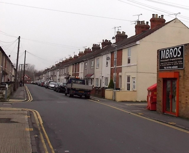
Image: © Jaggery Taken: 1 Dec 2014
Whiteman Street extends for 250 metres from Cricklade Road behind the camera to Florence Street Mission Hall http://www.geograph.org.uk/photo/4265807 in the distance. A side entrance http://www.geograph.org.uk/photo/4362796 to Mbros is on the right.
Images are licensed for reuse under creativecommons.org/licenses/by-sa/2.0
Image Location
Latitude
51.570865
Longitude
-1.780638