Bluecoat Yard
Introduction
The photograph on this page of Bluecoat Yard by Mike Quinn as part of the Geograph project.
The Geograph project started in 2005 with the aim of publishing, organising and preserving representative images for every square kilometre of Great Britain, Ireland and the Isle of Man.

There are currently over 7.5m images from over 14,400 individuals and you can help contribute to the project by visiting https://www.geograph.org.uk
Bluecoat Yard
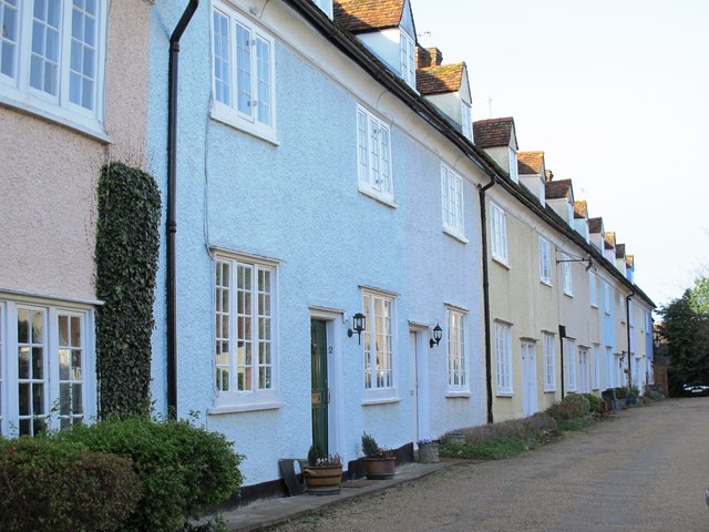
Image: © Mike Quinn Taken: 14 Jan 2015
These houses, built in the 16th/17th C, were originally the accommodation for boys at the Christ's Hospital school in Place House - see Image Most of the houses are Grade II* listed http://list.english-heritage.org.uk/results.aspx .
Images are licensed for reuse under creativecommons.org/licenses/by-sa/2.0
Image Location


Leaflet Map data © OpenStreetMap
Latitude
51.811271
Longitude
-0.030059