Forder Farm
Introduction
The photograph on this page of Forder Farm by Derek Harper as part of the Geograph project.
The Geograph project started in 2005 with the aim of publishing, organising and preserving representative images for every square kilometre of Great Britain, Ireland and the Isle of Man.

There are currently over 7.5m images from over 14,400 individuals and you can help contribute to the project by visiting https://www.geograph.org.uk
Forder Farm
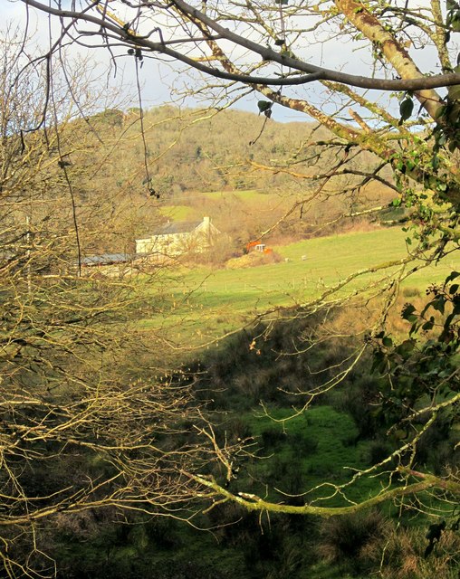
Image: © Derek Harper Taken: 21 Feb 2015
Seen from the new bridge on the Wray Valley Trail near Wilford Bridge. On the hill behind is Northcombe Copse.
Images are licensed for reuse under creativecommons.org/licenses/by-sa/2.0
Image Location
Latitude
50.606998
Longitude
-3.695943