St.Nicholas' church
Introduction
The photograph on this page of St.Nicholas' church by Richard Croft as part of the Geograph project.
The Geograph project started in 2005 with the aim of publishing, organising and preserving representative images for every square kilometre of Great Britain, Ireland and the Isle of Man.

There are currently over 7.5m images from over 14,400 individuals and you can help contribute to the project by visiting https://www.geograph.org.uk
St.Nicholas' church
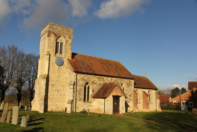
Image: © Richard Croft Taken: 21 Feb 2015
Domesday Cublington was further down the valley, but the later medieval village moved to its current location with the building of the early 15th century parish church of St.Nicholas.
Images are licensed for reuse under creativecommons.org/licenses/by-sa/2.0
Image Location
Latitude
51.891963
Longitude
-0.782658