Field near Higher Howden Farm
Introduction
The photograph on this page of Field near Higher Howden Farm by Rod Allday as part of the Geograph project.
The Geograph project started in 2005 with the aim of publishing, organising and preserving representative images for every square kilometre of Great Britain, Ireland and the Isle of Man.

There are currently over 7.5m images from over 14,400 individuals and you can help contribute to the project by visiting https://www.geograph.org.uk
Field near Higher Howden Farm
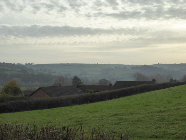
Image: © Rod Allday Taken: 31 Oct 2014
Looking over the rooftops in Ashley Rise towards the opposite side of the Exe valley.
Images are licensed for reuse under creativecommons.org/licenses/by-sa/2.0
Image Location
Latitude
50.891717
Longitude
-3.499809