Staker's Cross
Introduction
The photograph on this page of Staker's Cross by Derek Harper as part of the Geograph project.
The Geograph project started in 2005 with the aim of publishing, organising and preserving representative images for every square kilometre of Great Britain, Ireland and the Isle of Man.

There are currently over 7.5m images from over 14,400 individuals and you can help contribute to the project by visiting https://www.geograph.org.uk
Staker's Cross
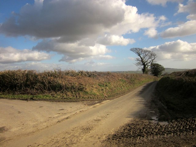
Image: © Derek Harper Taken: 24 Feb 2015
Chard Lane, ahead, carries, for about 250 metres further, the parish boundary between Wayford and West Crewkerne (left). Staker's Cross Lane (left) heads for Woolminstone. Both lanes drop steeply towards the Axe and its tributaries.
Images are licensed for reuse under creativecommons.org/licenses/by-sa/2.0
Image Location
Latitude
50.865769
Longitude
-2.85368