Lynedoch Street
Introduction
The photograph on this page of Lynedoch Street by Thomas Nugent as part of the Geograph project.
The Geograph project started in 2005 with the aim of publishing, organising and preserving representative images for every square kilometre of Great Britain, Ireland and the Isle of Man.

There are currently over 7.5m images from over 14,400 individuals and you can help contribute to the project by visiting https://www.geograph.org.uk
Lynedoch Street
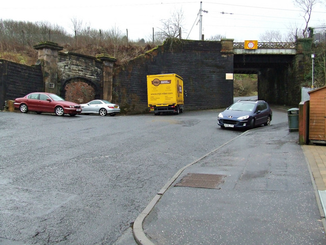
Image: © Thomas Nugent Taken: 27 Jan 2015
The bridge carries the Glasgow to Wemyss Bay railway line. The bricked-up archway on the left led to the former Upper Greenock station which closed in 1967.
Images are licensed for reuse under creativecommons.org/licenses/by-sa/2.0
Image Location
Latitude
55.940518
Longitude
-4.759178