Track leading down from Silver Glen
Introduction
The photograph on this page of Track leading down from Silver Glen by John Chroston as part of the Geograph project.
The Geograph project started in 2005 with the aim of publishing, organising and preserving representative images for every square kilometre of Great Britain, Ireland and the Isle of Man.

There are currently over 7.5m images from over 14,400 individuals and you can help contribute to the project by visiting https://www.geograph.org.uk
Track leading down from Silver Glen
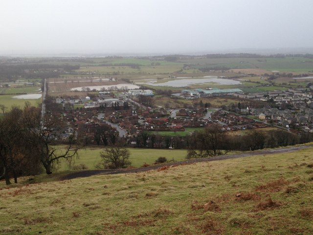
Image: © John Chroston Taken: 9 Jan 2015
Track leading down from Silver Glen, with extensive flooding of low-lying land to the south of the village of Alva.
Images are licensed for reuse under creativecommons.org/licenses/by-sa/2.0
Image Location
Latitude
56.155352
Longitude
-3.786811