Christ Church, Aughton
Introduction
The photograph on this page of Christ Church, Aughton by Rude Health as part of the Geograph project.
The Geograph project started in 2005 with the aim of publishing, organising and preserving representative images for every square kilometre of Great Britain, Ireland and the Isle of Man.

There are currently over 7.5m images from over 14,400 individuals and you can help contribute to the project by visiting https://www.geograph.org.uk
Christ Church, Aughton
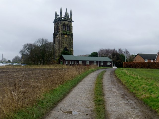
Image: © Rude Health Taken: 16 Dec 2014
A view towards Christ Church, Aughton from the track to the covered reservoir.
Images are licensed for reuse under creativecommons.org/licenses/by-sa/2.0
Image Location
Latitude
53.558534
Longitude
-2.904671