Medieval Black Ditch, Usk
Introduction
The photograph on this page of Medieval Black Ditch, Usk by Jaggery as part of the Geograph project.
The Geograph project started in 2005 with the aim of publishing, organising and preserving representative images for every square kilometre of Great Britain, Ireland and the Isle of Man.

There are currently over 7.5m images from over 14,400 individuals and you can help contribute to the project by visiting https://www.geograph.org.uk
Medieval Black Ditch, Usk
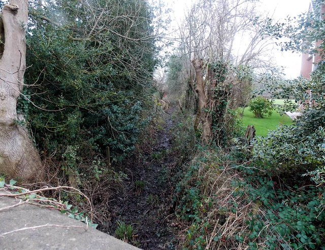
Image: © Jaggery Taken: 14 Dec 2014
An Usk Civic Society marker http://www.geograph.org.uk/photo/4359966 on the nearby pavement records that the Black Ditch (Clawdd Du in Welsh) was the boundary ditch of the medieval town and a mill stream leading to Usk's third and lowest mill.
Images are licensed for reuse under creativecommons.org/licenses/by-sa/2.0
Image Location
Latitude
51.698353
Longitude
-2.900081