South Lane
Introduction
The photograph on this page of South Lane by Alan Walker as part of the Geograph project.
The Geograph project started in 2005 with the aim of publishing, organising and preserving representative images for every square kilometre of Great Britain, Ireland and the Isle of Man.

There are currently over 7.5m images from over 14,400 individuals and you can help contribute to the project by visiting https://www.geograph.org.uk
South Lane
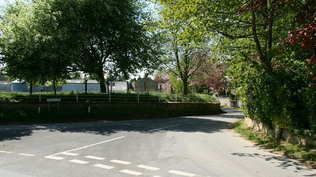
Image: © Alan Walker Taken: 1 May 2007
The photograph shows the eastern end of South Lane and was taken from its junction with Image (immediate left foreground). South Lane runs to the south of, and parallel to High Street (A170), the main road into the village from the east. For a photograph of the western (ahead) end of South Lane, click here Image Some 30metres to the right is this view of Images junction with High Street.
Images are licensed for reuse under creativecommons.org/licenses/by-sa/2.0
Image Location


Leaflet Map data © OpenStreetMap
Latitude
54.23723
Longitude
-0.70993