Unmapped path on Middleton Low Moor
Introduction
The photograph on this page of Unmapped path on Middleton Low Moor by Christine Johnstone as part of the Geograph project.
The Geograph project started in 2005 with the aim of publishing, organising and preserving representative images for every square kilometre of Great Britain, Ireland and the Isle of Man.

There are currently over 7.5m images from over 14,400 individuals and you can help contribute to the project by visiting https://www.geograph.org.uk
Unmapped path on Middleton Low Moor
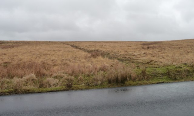
Image: © Christine Johnstone Taken: 22 Feb 2015
On the east side of Hardings Lane. A continuation of Nesfield Lane.
Images are licensed for reuse under creativecommons.org/licenses/by-sa/2.0
Image Location


Leaflet Map data © OpenStreetMap
Latitude
53.954905
Longitude
-1.846205