Kinders Mill Day Nursery
Introduction
The photograph on this page of Kinders Mill Day Nursery by Humphrey Bolton as part of the Geograph project.
The Geograph project started in 2005 with the aim of publishing, organising and preserving representative images for every square kilometre of Great Britain, Ireland and the Isle of Man.

There are currently over 7.5m images from over 14,400 individuals and you can help contribute to the project by visiting https://www.geograph.org.uk
Kinders Mill Day Nursery
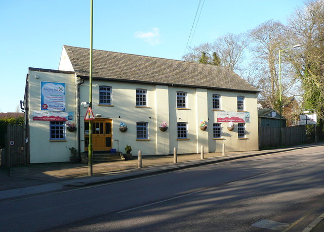
Image: © Humphrey Bolton Taken: 17 Feb 2015
This was Grove Mill (Corn) on the 1881 1:2500 map and is shown as disused on the 1939 edition.
Images are licensed for reuse under creativecommons.org/licenses/by-sa/2.0
Image Location
Latitude
51.959785
Longitude
-0.267931