Looking northeast along Stour Street
Introduction
The photograph on this page of Looking northeast along Stour Street by John Baker as part of the Geograph project.
The Geograph project started in 2005 with the aim of publishing, organising and preserving representative images for every square kilometre of Great Britain, Ireland and the Isle of Man.

There are currently over 7.5m images from over 14,400 individuals and you can help contribute to the project by visiting https://www.geograph.org.uk
Looking northeast along Stour Street
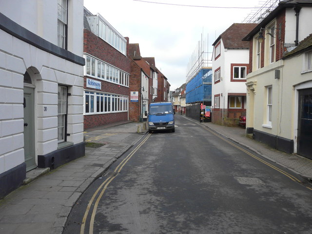
Image: © John Baker Taken: 4 Feb 2015
The projecting building, encased in scaffolding and blue safety netting, is the former Highway Services building on the corner of Beer Cart Lane.
Images are licensed for reuse under creativecommons.org/licenses/by-sa/2.0
Image Location
Latitude
51.277972
Longitude
1.077005