Housing development at Orchard Park
Introduction
The photograph on this page of Housing development at Orchard Park by Bill Boaden as part of the Geograph project.
The Geograph project started in 2005 with the aim of publishing, organising and preserving representative images for every square kilometre of Great Britain, Ireland and the Isle of Man.

There are currently over 7.5m images from over 14,400 individuals and you can help contribute to the project by visiting https://www.geograph.org.uk
Housing development at Orchard Park
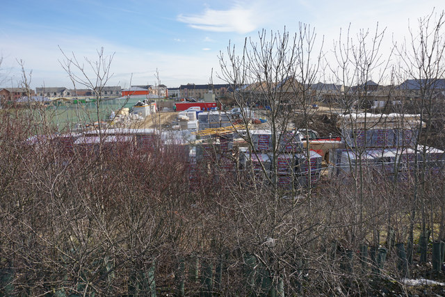
Image: © Bill Boaden Taken: 2 Feb 2015
Looking down from the B1049 from where there is a little bit of screening by trees. However, this may not be the quietest of housing developments, being just by a major junction on the A14.
Images are licensed for reuse under creativecommons.org/licenses/by-sa/2.0
Image Location


Leaflet Map data © OpenStreetMap
Latitude
52.233474
Longitude
0.113648