Courtmead Road, Cuckfield
Introduction
The photograph on this page of Courtmead Road, Cuckfield by Simon Carey as part of the Geograph project.
The Geograph project started in 2005 with the aim of publishing, organising and preserving representative images for every square kilometre of Great Britain, Ireland and the Isle of Man.

There are currently over 7.5m images from over 14,400 individuals and you can help contribute to the project by visiting https://www.geograph.org.uk
Courtmead Road, Cuckfield
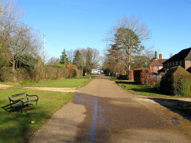
Image: © Simon Carey Taken: 17 Feb 2015
A private estate designed in the 1930s by local architect Harold Turner with the straight access road following the course of an old public right of way which still remains a public footpath today. The houses to the south were the first to be developed and occupy a couple of former fields called Court Meadow and Stone Rocks. Those to the north were gradually built from the end of the Second World War and completed in the 1970s.
Images are licensed for reuse under creativecommons.org/licenses/by-sa/2.0
Image Location
Latitude
51.006024
Longitude
-0.137635