Sutton Poyntz, disused church
Introduction
The photograph on this page of Sutton Poyntz, disused church by Mike Faherty as part of the Geograph project.
The Geograph project started in 2005 with the aim of publishing, organising and preserving representative images for every square kilometre of Great Britain, Ireland and the Isle of Man.

There are currently over 7.5m images from over 14,400 individuals and you can help contribute to the project by visiting https://www.geograph.org.uk
Sutton Poyntz, disused church
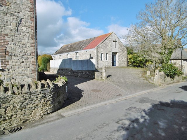
Image: © Mike Faherty Taken: 21 Feb 2015
On Sutton Road. The building shows no notice board, but a road sign at the top of the road points to "Evangelical Church", so presumably this is it?
Images are licensed for reuse under creativecommons.org/licenses/by-sa/2.0
Image Location
Latitude
50.649619
Longitude
-2.418767