A272 Roundabout, Cuckfield
Introduction
The photograph on this page of A272 Roundabout, Cuckfield by Simon Carey as part of the Geograph project.
The Geograph project started in 2005 with the aim of publishing, organising and preserving representative images for every square kilometre of Great Britain, Ireland and the Isle of Man.

There are currently over 7.5m images from over 14,400 individuals and you can help contribute to the project by visiting https://www.geograph.org.uk
A272 Roundabout, Cuckfield
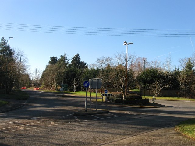
Image: © Simon Carey Taken: 17 Feb 2015
The eastern end of the Cuckfield Bypass which was opened in 1989. The roundabout and part of the road is located on the site of Bedlam Pond which existed here until the early 1970s until it was drained and landscaped. The pond was old and had been marked on a 1638 estate map as Gurner's Pond.
Images are licensed for reuse under creativecommons.org/licenses/by-sa/2.0
Image Location
Latitude
51.00211
Longitude
-0.129097