Dutch Barn Field
Introduction
The photograph on this page of Dutch Barn Field by Simon Carey as part of the Geograph project.
The Geograph project started in 2005 with the aim of publishing, organising and preserving representative images for every square kilometre of Great Britain, Ireland and the Isle of Man.

There are currently over 7.5m images from over 14,400 individuals and you can help contribute to the project by visiting https://www.geograph.org.uk
Dutch Barn Field
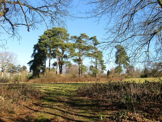
Image: © Simon Carey Taken: 17 Feb 2015
The name of the field according to Cuckfield's 1843 tithe map that was originally bounded by Tyler's Green, the A272, to the north, Isaac's Lane, the A273, and The Paddocks to the east, Chownes Mead Lane to the south. Part of the field was lost when Isaac's Lane was rerouted to the west of The Paddocks in the 1990s.
Images are licensed for reuse under creativecommons.org/licenses/by-sa/2.0
Image Location
Latitude
50.998878
Longitude
-0.123811