Beacon Hill
Introduction
The photograph on this page of Beacon Hill by Rude Health as part of the Geograph project.
The Geograph project started in 2005 with the aim of publishing, organising and preserving representative images for every square kilometre of Great Britain, Ireland and the Isle of Man.

There are currently over 7.5m images from over 14,400 individuals and you can help contribute to the project by visiting https://www.geograph.org.uk
Beacon Hill
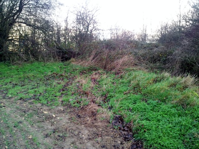
Image: © Rude Health Taken: 22 Nov 2014
Bagged the trig, field and opposite field and field corner scrub is probably the highest point seen on a late November sunny afternoon with Martin Richardson. This completed our set of 5 Rotherham TUMPs. Name: Beacon Hill Hill number: 16809 Height: 151m / 495ft Parent (Ma/M): 2807 Kinder Scout Section: 37: The River Tees to The Wash County/UA: Rotherham (UA) Class: Tump (100-199m) Grid ref: SK511899 (est) Drop: 53m Col: 98m SK484832
Images are licensed for reuse under creativecommons.org/licenses/by-sa/2.0
Image Location
Latitude
53.403906
Longitude
-1.233007