Renfields, Bolnore Village
Introduction
The photograph on this page of Renfields, Bolnore Village by Simon Carey as part of the Geograph project.
The Geograph project started in 2005 with the aim of publishing, organising and preserving representative images for every square kilometre of Great Britain, Ireland and the Isle of Man.

There are currently over 7.5m images from over 14,400 individuals and you can help contribute to the project by visiting https://www.geograph.org.uk
Renfields, Bolnore Village
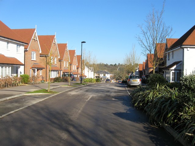
Image: © Simon Carey Taken: 17 Feb 2015
A completed section of the new development that includes 851 homes in the south west corner of Haywards Heath. Once a field called Furze Hill according to Cuckfield's 1843 tithe map.
Images are licensed for reuse under creativecommons.org/licenses/by-sa/2.0
Image Location
Latitude
50.992191
Longitude
-0.116243