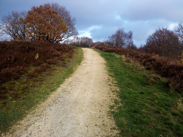
Wincobank, Iron Age Fort
Introduction
The photograph on this page of Wincobank, Iron Age Fort by Rude Health as part of the Geograph project.
The Geograph project started in 2005 with the aim of publishing, organising and preserving representative images for every square kilometre of Great Britain, Ireland and the Isle of Man.
There are currently over 7.5m images from over 14,400 individuals and you can help contribute to the project by visiting https://www.geograph.org.uk

Image: © Rude Health Taken: 22 Nov 2014
A historic place to visit with Martin Richardson. Park on Jenkin Road or the narrow Fort Hill Road or easy at the end of Sandstone Avenue. Name: Wincobank Hill number: 16792 Height: 161m / 528ft Parent (Ma/M): 2810 Black Hill Section: 36: Lancashire, Cheshire & the Southern Pennines County/UA: Sheffield (CoU) Class: Tump (100-199m) Grid ref: SK377910 (est) Drop: 38m Col: 123m SK343922

