
Canklow Bank
Introduction
The photograph on this page of Canklow Bank by Rude Health as part of the Geograph project.
The Geograph project started in 2005 with the aim of publishing, organising and preserving representative images for every square kilometre of Great Britain, Ireland and the Isle of Man.

There are currently over 7.5m images from over 14,400 individuals and you can help contribute to the project by visiting https://www.geograph.org.uk
Canklow Bank
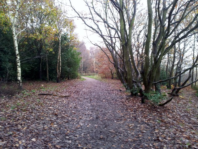
Image: © Rude Health Taken: 22 Nov 2014
Used the lane passed Oakwood School towards the football pitches and onto footpaths in the wood. Had a good walk around the lovely wood with Martin Richardson. Name: Canklow Bank Hill number: 16831 Height: 123m / 404ft Parent (Ma/M): 2807 Kinder Scout Section: 36: Lancashire, Cheshire & the Southern Pennines County/UA: Rotherham (UA) Class: Tump (100-199m) Grid ref: SK433909 (est) Drop: 37m Col: 86m SK447914
Images are licensed for reuse under creativecommons.org/licenses/by-sa/2.0
Image Location

Latitude
53.413318
Longitude
-1.349886