Four Acre Wood
Introduction
The photograph on this page of Four Acre Wood by Simon Carey as part of the Geograph project.
The Geograph project started in 2005 with the aim of publishing, organising and preserving representative images for every square kilometre of Great Britain, Ireland and the Isle of Man.

There are currently over 7.5m images from over 14,400 individuals and you can help contribute to the project by visiting https://www.geograph.org.uk
Four Acre Wood
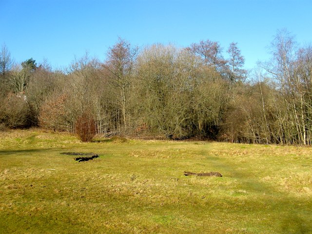
Image: © Simon Carey Taken: 17 Feb 2015
An open area within the woodland that will not be developed as it was discovered the wood was ancient woodland.
Images are licensed for reuse under creativecommons.org/licenses/by-sa/2.0
Image Location
Latitude
50.992855
Longitude
-0.112797