Ashenground Bridge
Introduction
The photograph on this page of Ashenground Bridge by Simon Carey as part of the Geograph project.
The Geograph project started in 2005 with the aim of publishing, organising and preserving representative images for every square kilometre of Great Britain, Ireland and the Isle of Man.

There are currently over 7.5m images from over 14,400 individuals and you can help contribute to the project by visiting https://www.geograph.org.uk
Ashenground Bridge
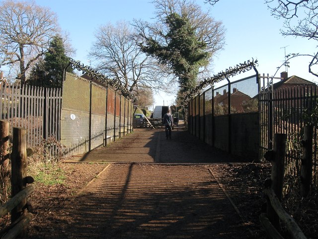
Image: © Simon Carey Taken: 17 Feb 2015
Built with the line in 1840 to carry an old highway over the railway. With the development of Haywards Heath the eastern side has become Ashenground Road whilst the western side has been reduced to the status of a bridleway.
Images are licensed for reuse under creativecommons.org/licenses/by-sa/2.0
Image Location
Latitude
50.991914
Longitude
-0.11027