Potential development site
Introduction
The photograph on this page of Potential development site by Julian P Guffogg as part of the Geograph project.
The Geograph project started in 2005 with the aim of publishing, organising and preserving representative images for every square kilometre of Great Britain, Ireland and the Isle of Man.

There are currently over 7.5m images from over 14,400 individuals and you can help contribute to the project by visiting https://www.geograph.org.uk
Potential development site
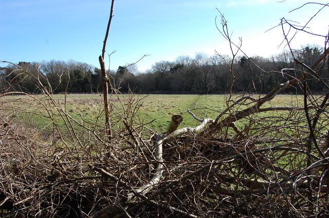
Image: © Julian P Guffogg Taken: 22 Feb 2015
Part of the land which has an application to build 208 houses. The field is next to the old Holmhurst St Mary convent, which owned a lot of land in this area, and seems to be gradually being sold off.
Images are licensed for reuse under creativecommons.org/licenses/by-sa/2.0
Image Location
Latitude
50.886319
Longitude
0.560252