Houses, Edginswell
Introduction
The photograph on this page of Houses, Edginswell by Derek Harper as part of the Geograph project.
The Geograph project started in 2005 with the aim of publishing, organising and preserving representative images for every square kilometre of Great Britain, Ireland and the Isle of Man.

There are currently over 7.5m images from over 14,400 individuals and you can help contribute to the project by visiting https://www.geograph.org.uk
Houses, Edginswell
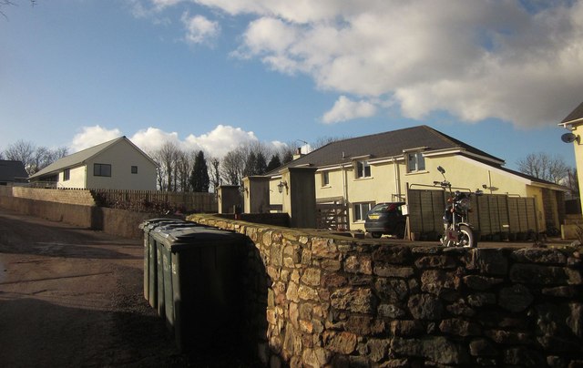
Image: © Derek Harper Taken: 16 Feb 2015
Up a little cul-de-sac and backing onto where Hamelin Way is in the midst of huge roadworks for the southern end of the new Link Road.
Images are licensed for reuse under creativecommons.org/licenses/by-sa/2.0
Image Location
Latitude
50.484897
Longitude
-3.57189