Steep bridleway from Cymmer to Afan Argoed
Introduction
The photograph on this page of Steep bridleway from Cymmer to Afan Argoed by Jaggery as part of the Geograph project.
The Geograph project started in 2005 with the aim of publishing, organising and preserving representative images for every square kilometre of Great Britain, Ireland and the Isle of Man.

There are currently over 7.5m images from over 14,400 individuals and you can help contribute to the project by visiting https://www.geograph.org.uk
Steep bridleway from Cymmer to Afan Argoed
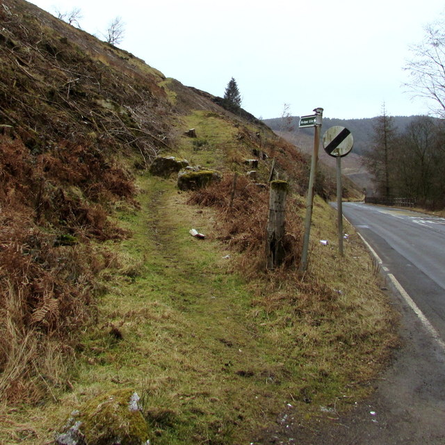
Image: © Jaggery Taken: 18 Feb 2015
The bridleway ascends from the A4107. The bridleway sign shows 5 km to Afan Argoed. There is no distance shown in miles. A bridleway is a route for horse riders and walkers, but not for vehicles.
Images are licensed for reuse under creativecommons.org/licenses/by-sa/2.0
Image Location
Latitude
51.651361
Longitude
-3.656732